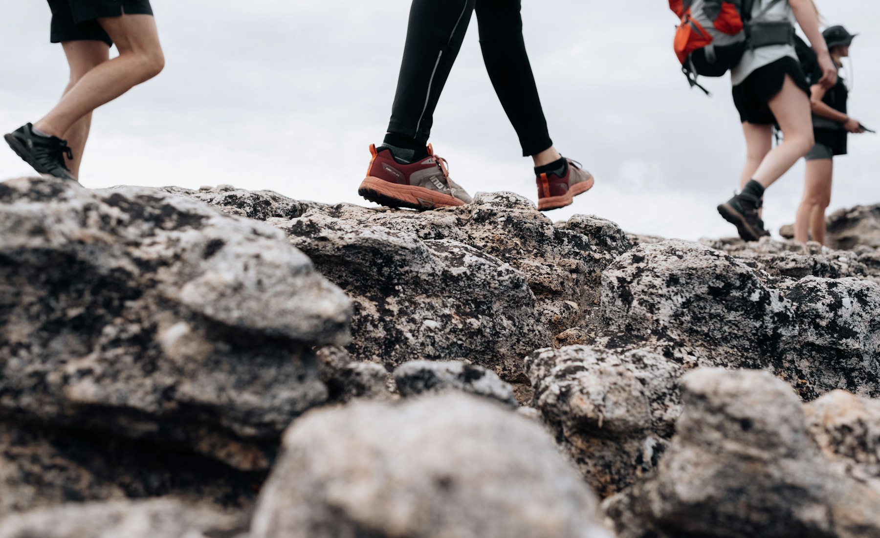
How we rate effort, and why we do not grade difficulty
Trail sites hand out difficulty ratings. We do not, because we have not walked these routes and
a difficulty rating invented from a desk is the kind of thing that gets somebody benighted on a
plateau. What you see instead is two separate things.
The effort band is derived, purely and only, from the longest time the access point
publishes. Nothing else feeds it. Here is the whole formula:
| Stroll | an hour or less |
|---|
| Short walk | one to two hours |
|---|
| Half day | two to four and a half hours |
|---|
| Big day | four and a half to six and a half hours |
|---|
| Full day | more than six and a half hours |
|---|
| Multi-day | an overnight route |
|---|
| Not published | no source publishes a time for it |
|---|
The grade, where a card shows one, is the publisher’s own words, quoted and
attributed — CapeNature calling the Wolfberg Arch strenuous, Cederberg Park calling Disa Pool
a level 1 walk with mild exposure to heights. Where nobody grades a route, the card says so rather
than filling the gap.
The same rule governs every number. A distance, an ascent or a high point appears only if a
source publishes it. Where a figure comes from a guidebook or a write-up rather than from the farm
or CapeNature, the ascent bar is striped rather than solid and the source is named in the detail.
Everything else reads not published, which is a fact about the Cederberg worth knowing
before you plan around it.
If you live here: what to do first, and how to tick all 41
Most of this page is written for somebody driving up from Cape Town for a weekend. If you live
in the valley the problem is the other way round. You are not choosing one trip; you are working
through a list over a few years, and the thing that decides your Saturday is not the walk, it is
how much of the day the drive eats. So these are ordered by that, and inside each group by
how long the walk takes.
You also have the one advantage no visitor has: you can wait for the weather. Nobody
local should be on open rock in February. Save the summer for the routes that end in water
— Maalgat, Disa Pool,
Visgat, the two waterfalls — and keep the long days for April to
early December.
The first three, in this order
1. Klein Olifants at Cederkloof. Four
kilometres, two hours, no permit and no gravel. It is the shortest possible distance between
your front door and a view of the whole valley.
2. Koningskop. Ninety minutes, waymarked with
arrows, San paintings at the top, and still on our side of the valley at 27 km. This is the
one most people in town have heard of and never done.
3. Middelberg Waterfall at Algeria. Your first
CapeNature permit and your first proper wilderness walk, two and a half to three hours, ending
at a waterfall. Do this one before you commit to the long drive over the passes.
After that the range opens up: the Maltese Cross is the gentlest
of the famous ones, the Wolfberg Cracks are the first that will
genuinely test you, and the Arch is the full day you
earn afterwards.
You have walked 0 of 41
1 This weekend, from your own front door
No wilderness permit, no gravel, and you are home for lunch. If you have never walked above the town, start here.
2 A short drive, and home the same day
Up the N7 and back without losing the day to the road. Your first CapeNature permit, and the first proper Cederberg ground — though the walks here run from ninety minutes to a full eight hours, so pick on the time, not the drive.
3 A whole Saturday, and an early start
The far side of the range. Two passes of gravel each way, so the drive is half the day — leave in the dark.
4 Worth taking the Friday off
Deep in. These are better slept over than driven twice in a day, and the Kromrivier corner is the only way to reach Apollo.
5 The far corners
Long drives to places most people in town have never been. Save these for when you have ticked the rest.
6 When you are ready to sleep out there
Overnight permits are a separate application from day permits, and they have been suspended after fires before. Ask CapeNature early.
Two things worth knowing if you are going to do all of them
A CapeNature Wild Card probably pays for itself. Cederberg Park lists its day permits
as free to Wild Card holders where a day visitor pays R70 an adult for the Maltese Cross and R50
for Stadsaal and Truitjieskraal. If you are going in more than a handful of times a year, price
the card against what you are paying at the gate. Confirm the current fees and what the card
covers with CapeNature — these are the last figures published, not a quote.
Three adults, every time. The wilderness-area minimum is not waived for people who live
down the road, and it is the rule most likely to catch a local who is used to walking alone.
Find two others, or stay on the farms outside the wilderness area.
Sources Cederberg Park, Kromrivier — hiking · CapeNature — Cederberg Wilderness Area
Permits, and the rules that are not negotiable
You need a day permit for anything inside the Cederberg Wilderness Area, and you buy it at
the access point you are starting from rather than centrally. CapeNature issues them at the Algeria
office on 087 087 8250; Sanddrif on +27 27 482 2825; and the farms at
Driehoek, Keurbosfontein and Kromrivier issue their own. Conservation fees apply for adults and for
children aged 4 to 17.
A minimum of three adults is required on any of the Cederberg Wilderness trails, with four
to twelve the suggested group size. It is not bureaucracy: if one person is hurt, one stays and one
walks out, and there is no reliable signal in much of the range.
Hiker numbers are capped so the wilderness stays quiet, so a permit is not guaranteed on
the day. Fire closures happen and have suspended overnight permits in the past. Confirm the current
position before you drive, not when you arrive.
Carry your own water and food. CapeNature says so plainly, and the long routes have none
on them at all.
Sources CapeNature — Cederberg Wilderness Area · Cederberg Conservancy — day hikes
Hiking near Citrusdal — questions people ask
Do you need a permit to hike in the Cederberg?
Yes, for anything inside the Cederberg Wilderness Area. Day permits are issued at the access point you start from, not centrally: the CapeNature office at Algeria on 087 087 8250, Sanddrif on +27 27 482 2825, and the farms at Driehoek, Keurbosfontein and Kromrivier. Conservation fees apply for adults and for children aged 4 to 17. Walks on private land outside the wilderness area, such as Wolfkop or Cederkloof, are arranged with the property instead.
Can you hike alone in the Cederberg Wilderness Area?
No. CapeNature requires a minimum of three adult hikers for any of the Cederberg Wilderness trails, and suggests four to twelve as a sensible group. The reasoning is practical: if one person is hurt, one stays and one walks out, and there is no reliable phone signal in much of the range.
What is the best hike near Citrusdal for a first visit?
The Middelberg Waterfall from Algeria, at two and a half to three hours, is the closest proper Cederberg walk to Citrusdal and ends at a waterfall. If you are willing to drive the gravel to the far side of the range, the Maltese Cross from Sanddrif is two and a half to three hours and is the easiest of the famous ones. For a half day without any gravel at all, the Klein Olifants trail at Cederkloof is about 4 km just outside town.
I live in Citrusdal — which hike should I do first?
Work outwards, because the drive decides your day more than the walk does. Start with the Klein Olifants trail at Cederkloof — 4 km, two hours, no permit and no gravel. Then Koningskop, ninety minutes and waymarked, with San paintings at the top, 27 km away and still on the Citrusdal side of the valley. Then the Middelberg Waterfall from Algeria, which is your first CapeNature permit and your first proper wilderness walk. After that the Maltese Cross, the Wolfberg Cracks and the Arch. The full list, ordered and tickable, is here ›
How hard is the Wolfberg Arch hike?
CapeNature grades it strenuous and lists it at eight hours, which is also what the Cederberg Conservancy publishes. From Sanddrif the route climbs about 530 m in the first 2.5 km to reach the Wolfberg Cracks, goes through the Cracks with scrambling, then crosses the plateau to the arch. It is roughly 14 to 16 km return, and there is no water on it. A shorter way exists from Keurbosfontein, where an hour of 4x4 track leaves only a three to four hour walk.
How long does the Maltese Cross hike take?
The Cederberg Conservancy lists two and a half to three hours from Dwarsrivier and Sanddrif, roughly 4 to 4.5 km each way. CapeNature separately lists a Maltese Cross walk at five hours, which is the longer approach. The two figures are for different routes to the same rock, so confirm which one you are buying a permit for. There is also a seven to eight hour approach from Algeria via Eikeboom and another from Kromrivier via Disa Pool.
Can you hike Apollo Peak from Citrusdal?
Apollo Peak is 1 699 m and sits 18 km from Citrusdal as the crow flies, but the trailhead is at Kromrivier on the far side of the range, which is a long drive on inner-Cederberg gravel. The Cederberg Conservancy lists the Apollo Cave and Lunar Tunnel route at seven to eight hours, and accounts of the pair with Luna Peak record around 12.7 km and roughly 800 m of ascent. Permits are issued at Kromrivier Guest Farm, and parking where the path starts is limited.
Is there a hiking trail at Koningskop?
Yes. Koningskop is a working citrus and rooibos farm 27 km from Citrusdal, and its hiking trail is waymarked with arrows and takes about an hour and a half. There are San rock paintings at the top of the mountain, which can also be reached on the farm’s 4x4 route. The farm publishes no distance, no ascent and no grade for the walk, so ask when you book.
What is the highest peak in the Cederberg?
Sneeuberg, at 2 027 m. Tafelberg is next at 1 969 m, then the Spout at 1 964 m and Sneeukop at 1 929 m. Sneeuberg rises roughly 700 m above the plain that holds the Maltese Cross, and the summit is normally climbed from the Sneeuberg hut rather than in one push from a farm. The upper mountain is marked with cairns rather than a path.
When is the best time of year to hike the Cederberg?
April to early December. Summer, from January to March, is unbearably hot on open rock and water sources are unreliable, which is a real problem on the long routes where there is none on the trail at all. Winter days are cool and clear but can turn to heavy rain and extreme cold, and snow falls on the high peaks. Autumn and spring are the kind months for the full-day walks. More on the seasons here ›
Are there easy hikes near Citrusdal for families?
Yes, and the closest ones need no wilderness permit. The Feetjie trail at Cederkloof is a 20 to 25 minute stroll. Wolfkop Nature Reserve, 5 km from town, is free to walk, though it publishes no trail lengths. Further in, Maalgat at Sanddrif is half an hour downstream to a swimming hole, Lot’s Wife and Window Rocks is one to one and a half hours, and Truitjieskraal and the Stadsaal caves are graded as walks with no exposure to heights.
Is there water on the Cederberg trails?
Assume not. There is no water on the Wolfberg Arch route, and CapeNature’s standing instruction is that hikers carry enough water and food for the whole walk. Some routes end at a pool, such as Maalgat, Disa Pool and the Middelberg waterfall, but a pool at the end is not a supply on the way. Water sources that do exist are unreliable through summer.
How far is it from Citrusdal to the Cederberg trailheads?
The Algeria turn-off is about 28 km north of Citrusdal on the N7, and Algeria is the closest access point. Dwarsrivier and Sanddrif, where the Wolfberg and Maltese Cross routes start, are a further 46 km of gravel over two passes beyond that turn-off. Driehoek, Kromrivier, Cederberg Oasis, Matjiesrivier, Nuwerust and Mount Ceder are all further again on inner-Cederberg gravel. It is slower than the map suggests, and you do not want to be arriving after dark. How to reach Citrusdal ›